The Phantom Island That Nearly Caused an Oil War: How a Century-Old Map Error Almost Triggered International Chaos
The Island That Wasn't There
In 2009, a joint Mexican-American scientific expedition set out to resolve one of the most expensive geographical mysteries in North American history. Their mission was simple: locate a small island called Bermeja that had appeared on official maps for over a century and determine its exact coordinates for crucial oil boundary negotiations worth billions of dollars. What they discovered instead would trigger an international incident and spawn conspiracy theories that persist to this day.
Bermeja wasn't just any dot on a map. This supposedly 80-square-kilometer island, located roughly 100 miles off Mexico's Yucatan Peninsula, had been the cornerstone of maritime boundary agreements between the United States and Mexico since the early 1900s. Its position determined who controlled vast underwater oil reserves in the Gulf of Mexico — reserves that recent estimates valued at over $20 billion.
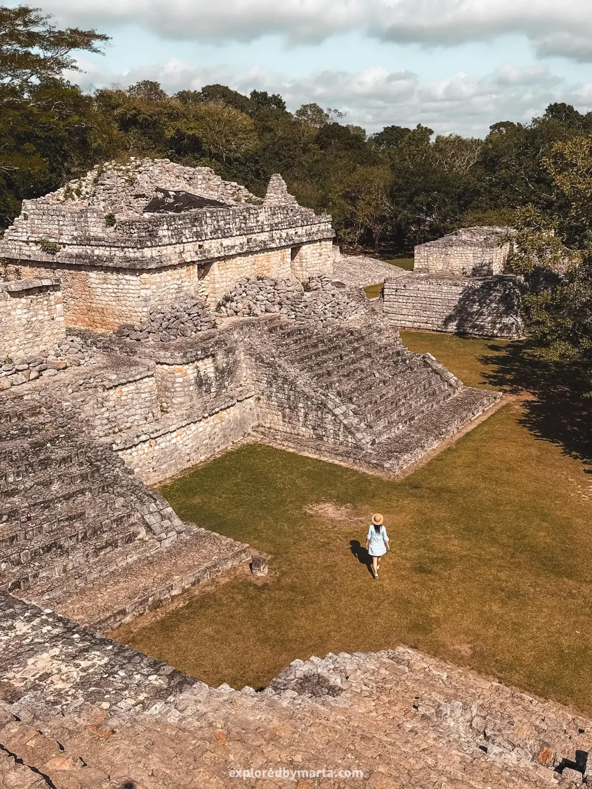 Photo: Yucatan Peninsula, via exploredbymarta.com
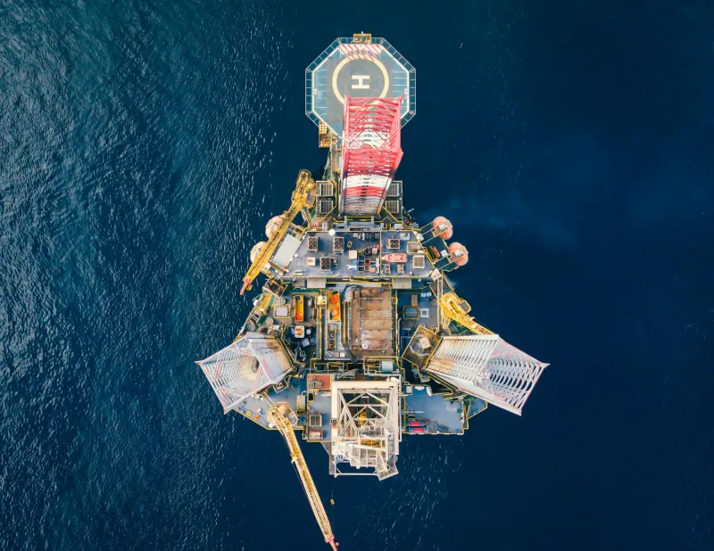
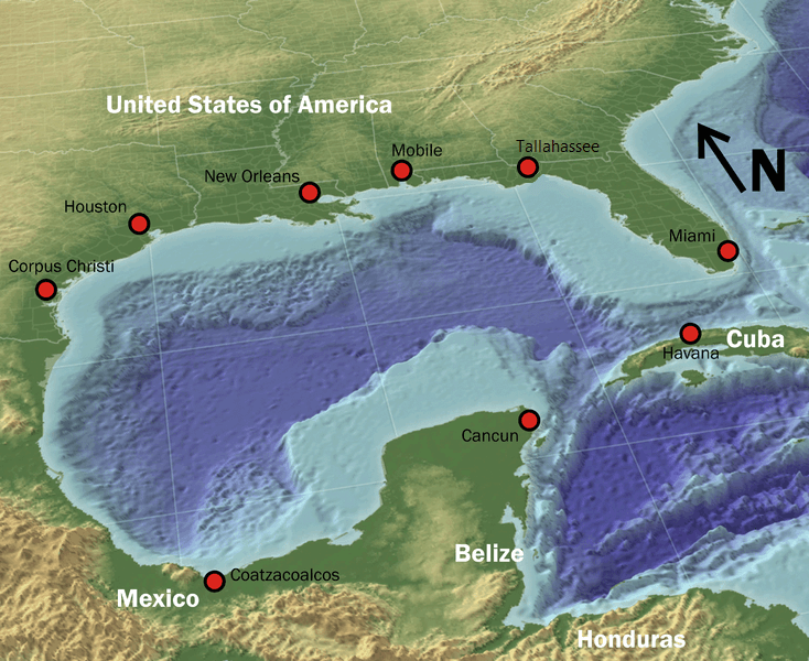 Photo: Gulf of Mexico, via lacgeo.com
There was just one problem: when the expedition arrived at Bermeja's coordinates, they found nothing but open ocean.
A Century of Cartographic Confidence
The story of Bermeja begins in the 16th century, when Spanish explorers first charted the Gulf of Mexico. Early maps showed a small island in the approximate location that would later be known as Bermeja, though different cartographers placed it at slightly different coordinates. Over the centuries, the island's position was refined and standardized, appearing consistently on Mexican, American, and international maritime charts.
By the 20th century, Bermeja had become an established geographical fact. The island appeared in official Mexican government surveys, US Coast Guard navigation charts, and international maritime boundary agreements. Its existence was so well-documented that neither country ever felt the need to actually visit the place — after all, it was clearly marked on every map.
This cartographic certainty became crucial in 1976, when Mexico and the United States began negotiating their maritime boundary in the Gulf of Mexico. The location of Bermeja would determine where Mexico's exclusive economic zone ended and international waters began — a distinction that would prove worth billions once oil reserves were discovered in the disputed area.
When Maps Became Money
The negotiations were complex, involving not just the two countries but also international maritime law and the claims of various oil companies. Bermeja served as a key reference point, extending Mexico's territorial claims far into the Gulf and giving the country rights to vast underwater oil deposits.
For decades, this arrangement worked perfectly well on paper. Oil companies paid licensing fees to Mexico for drilling rights in the Bermeja zone, international maritime law recognized Mexico's claims, and both countries considered the matter settled. The island itself remained unvisited — a remote speck of land that nobody needed to actually see to believe in.
The first hint of trouble came in 1997, when satellite imaging technology became sophisticated enough to photograph every square meter of the Gulf of Mexico. Analysts noticed something odd: while Bermeja appeared on every chart, it wasn't visible in any satellite photographs. The initial assumption was that the island was simply too small to show up clearly in the available imagery.
The Expedition That Found Nothing
By 2009, the discrepancy had become impossible to ignore. With oil prices soaring and exploration technology advancing, the exact location of Bermeja had become critically important for determining drilling rights. Mexico's National Institute of Geography and Statistics decided to settle the matter once and for all with a comprehensive survey of the area.
The expedition was equipped with the most advanced marine surveying equipment available. Side-scan sonar, underwater cameras, and precise GPS coordinates would finally provide definitive proof of Bermeja's exact location and dimensions. The team expected to spend several days mapping the island's coastline and underwater features.
Instead, they found water depths of over 1,500 meters at Bermeja's supposed location — far too deep for any island to have existed in recorded history. Repeated surveys of the surrounding area turned up nothing but empty ocean. Bermeja, the island that had influenced international law and billion-dollar oil agreements for over a century, simply wasn't there.
The Conspiracy Theories Begin
The discovery that Bermeja had never existed should have been the end of the story. Instead, it was just the beginning of one of the most bizarre international incidents in recent memory. Within weeks of the expedition's announcement, Mexican legislators were demanding investigations into what they claimed was the deliberate destruction of Mexican territory.
The theory, as outlandish as it sounds, was that the United States had somehow destroyed Bermeja to shift oil drilling rights in America's favor. Some politicians claimed the CIA had used underwater explosives to eliminate the island, while others suggested more exotic scenarios involving secret military technology.
"It's very convenient for the United States that this island disappeared just when oil became valuable," declared Mexican Congressman Luis Angel Bravo during heated parliamentary debates. "We demand a full investigation into this act of geographical terrorism."
The accusations became so serious that the Mexican government formally requested that the United Nations investigate the "disappearance" of Bermeja. The request was quietly shelved when investigators pointed out the logical impossibility of destroying something that had never existed in the first place.
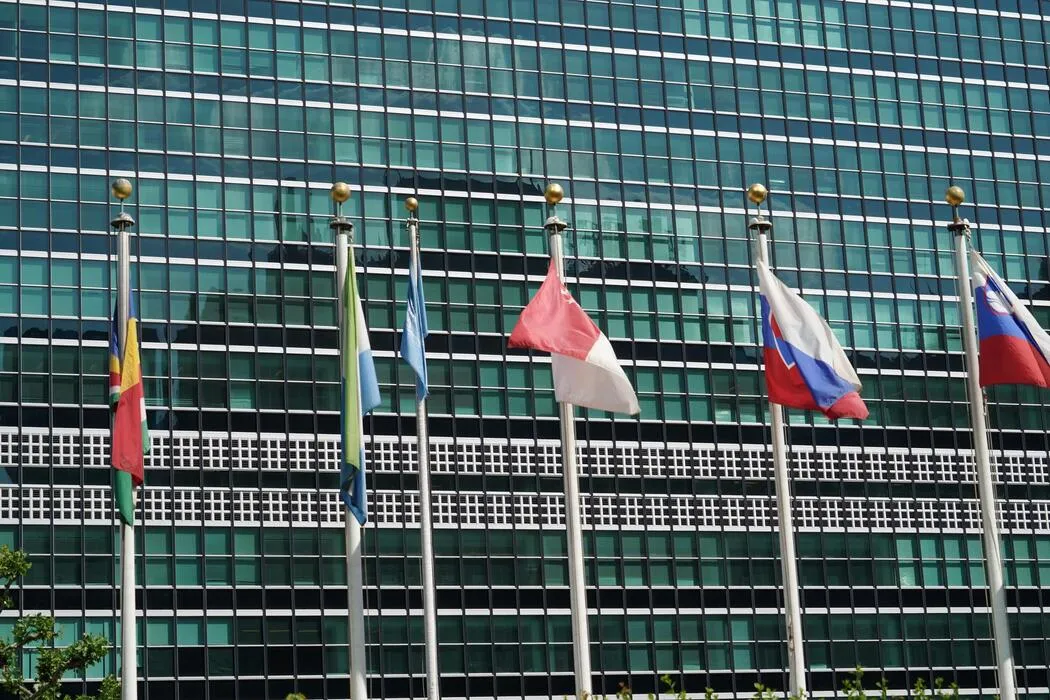 Photo: United Nations, via static.vecteezy.com
The Map That Fooled Everyone
So how did a non-existent island end up on official maps for over a century? The answer reveals the surprising fragility of geographical knowledge in the pre-satellite era. Early Spanish maps likely contained a simple cartographic error — perhaps mistaking a cloud formation, optical illusion, or temporary floating debris for land.
Once the error appeared on one authoritative map, it was copied to others. Each subsequent cartographer assumed that previous mapmakers had actually verified the island's existence. Over time, Bermeja became a geographical "fact" that nobody questioned because it appeared on every official source.
"This is more common than people realize," explained Dr. Patricia Martinez, a specialist in historical cartography at Mexico's National University. "Before satellite verification, maps were essentially copies of other maps, with errors perpetuating for centuries. Bermeja just happened to be an error with billion-dollar consequences."
The Legal Nightmare That Followed
The non-existence of Bermeja created an immediate crisis in international maritime law. Mexico's territorial claims in the Gulf of Mexico had been based on the island's location for decades. With Bermeja gone, those claims became legally questionable, potentially shifting billions of dollars in oil rights to international waters or US territory.
Oil companies that had paid Mexico for drilling rights in the Bermeja zone suddenly found themselves in legal limbo. Had they been paying the wrong country for access to international waters? Were their existing contracts still valid? The legal implications were staggering.
Negotiations between Mexico and the United States resumed in 2012, with both countries working to establish new maritime boundaries based on actual geography rather than phantom islands. The process took years and required the involvement of international maritime courts to resolve competing claims.
The Island That Never Was
Today, Bermeja serves as a cautionary tale about the assumptions we make about the world around us. For over a century, this non-existent island influenced international law, shaped territorial boundaries, and determined the distribution of billions of dollars in natural resources. Its "existence" was so well-documented that nobody thought to actually look for it until technology made such verification routine.
The Bermeja incident also highlights how geographical errors can have far-reaching consequences in an interconnected world. What began as a simple mapmaking mistake in the 16th century eventually triggered international diplomatic incidents, conspiracy theories, and legal challenges that continue to influence Gulf of Mexico oil rights today.
Perhaps most remarkably, some Mexican officials still refuse to accept that Bermeja never existed. As recently as 2019, politicians have called for new expeditions to "relocate" the missing island, convinced that it must be somewhere in the Gulf of Mexico despite overwhelming evidence to the contrary.
In an age of GPS and satellite imaging, it's hard to imagine how an entire island could simply vanish from the map. The truth is even stranger: Bermeja never vanished because it was never there to begin with. Sometimes the most unbelievable stories are the ones where nothing happened at all.