One Bad Latitude: The 200-Year-Old Surveyor's Mistake That Georgia Is Still Trying to Fix
Less Than a Mile. Two Hundred Years of Trouble.
In the grand catalog of human errors, missing a measurement by a mile barely registers. But when that measurement is the starting point for an interstate boundary, and when a major river sits just on the other side of where the line should have been drawn, a single degree of miscalculation can echo for two centuries.
That's exactly what happened when a surveyor named James Camak set out in 1818 to mark the boundary between Georgia and Tennessee. He had clear instructions: follow the 35th parallel north. He had the best instruments available at the time. And he was off by just under a mile.
 Photo: James Camak, via d8-a.sdn.cz
Neither state noticed. Not for fifty years. Not really, in any practical sense, for nearly a hundred and fifty. Then a drought came, the water engineers arrived, and suddenly a dead man's arithmetic became the most contentious real estate dispute in the American South.
Drawing a Line in 1818
The Georgia-Tennessee boundary had been a matter of negotiation and treaty for years before Camak got the job. The agreed-upon line was the 35th parallel — a clean, politically satisfying choice that divided the two states along a consistent latitude. Simple in theory. Less simple when you're standing in the wilderness of the early nineteenth century with a surveying instrument, trying to find the exact latitude of a point on the earth's surface.
Camak's error was not reckless. It was the kind of small, compounding miscalculation that was genuinely difficult to avoid with the technology of the era. Establishing latitude precisely required careful celestial observation, and small errors in those observations could shift a line by meaningful distances over long stretches of terrain. Camak placed his starting point approximately 1.1 miles south of where the 35th parallel actually ran.
The resulting boundary line was drawn, mapped, and accepted by both states. Georgia and Tennessee each built their governments, drew their counties, collected their taxes, and lived their lives relative to Camak's line. Nobody questioned it. Why would they? The line was on the map. The map was official. The matter was settled.
The River Nobody Was Looking At
For most of the nineteenth and early twentieth centuries, the precise location of the Georgia-Tennessee boundary was an administrative fact with no particular practical consequences. The land on either side of the line was rural, sparsely populated, and not the subject of any major resource dispute.
What nobody was paying close attention to was the Tennessee River. Specifically, a stretch of the river that ran through the region near Chattanooga — which, under the correctly drawn 35th parallel, would have been in Georgia. Under Camak's line, it was in Tennessee.
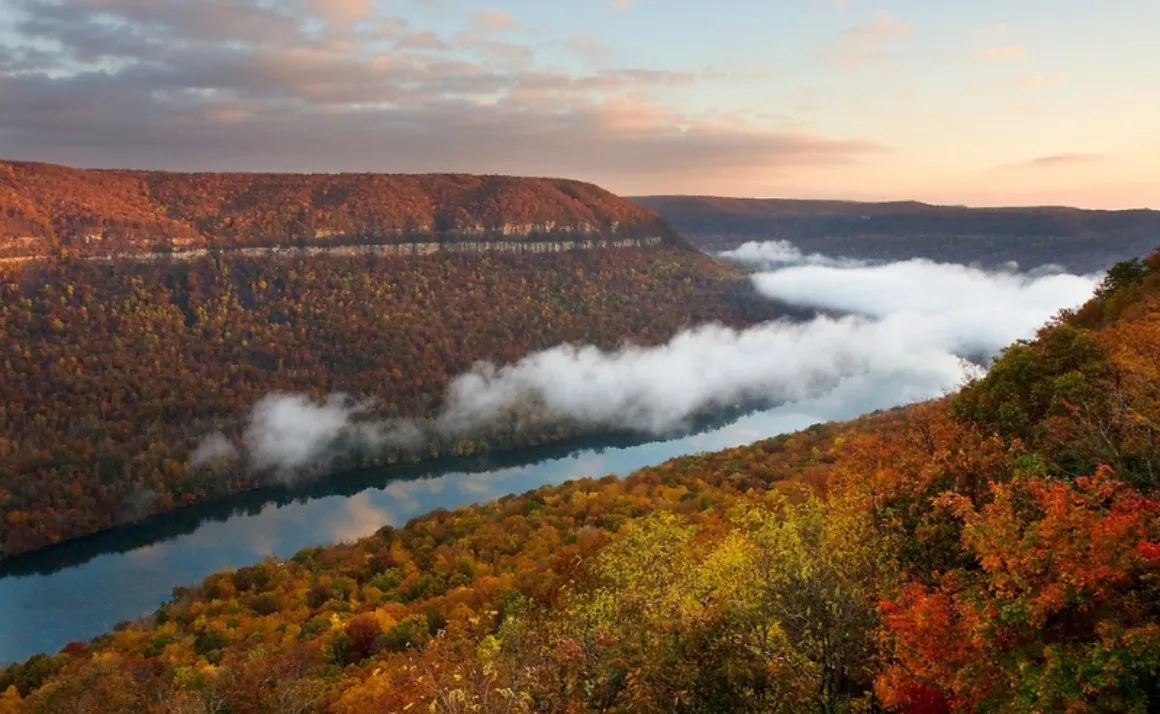 Photo: Tennessee River, via www.knoxtntoday.com
The Tennessee River is not a minor waterway. It's a substantial source of fresh water that feeds reservoirs and supplies communities across the region. For Georgia, which draws its water primarily from the Chattahoochee River system, the Tennessee has always represented an tantalizing alternative — one that happens to be owned by a neighboring state.
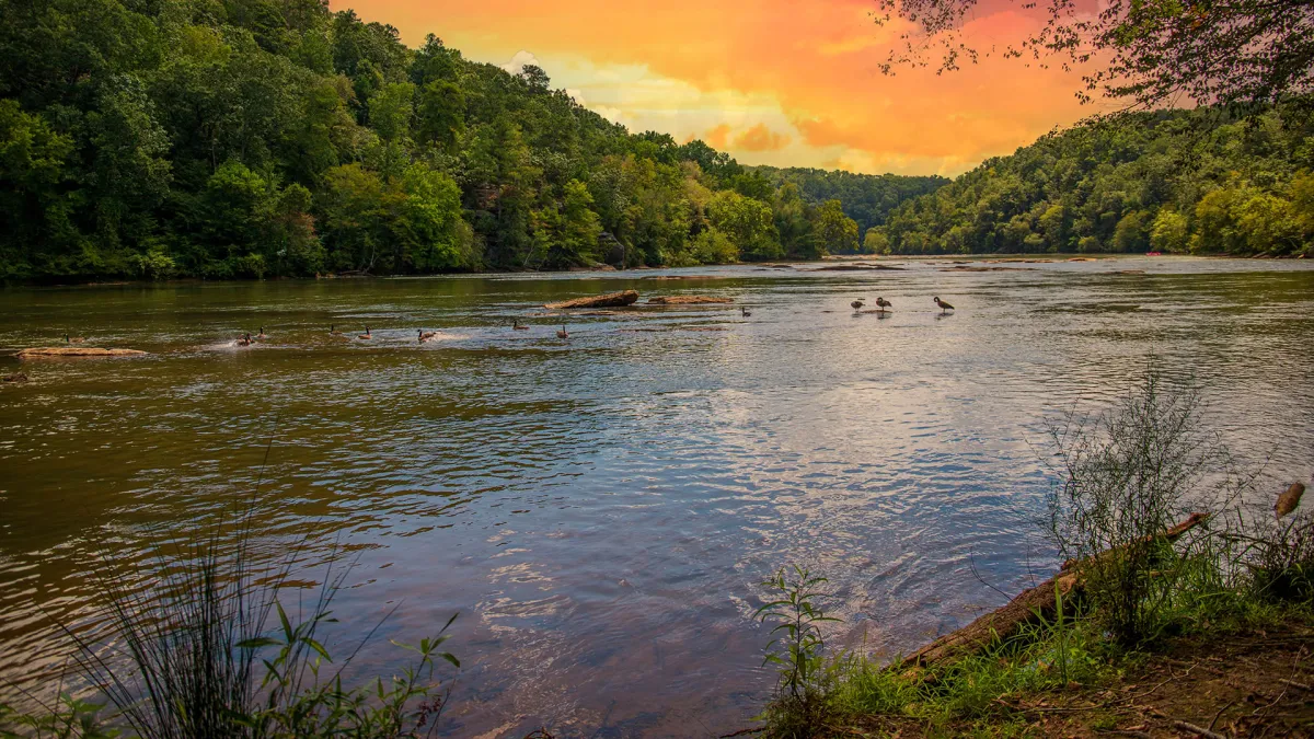 Photo: Chattahoochee River, via res.cloudinary.com
For most of history, this was a theoretical observation rather than a pressing concern. Then the droughts started.
When Thirst Makes Lawyers
Georgia's population exploded in the late twentieth century. Metro Atlanta grew into one of the largest urban areas in the country, and the Chattahoochee — already shared with Alabama and Florida downstream — came under increasing strain. By the 1990s, water rights in the Southeast had become a genuine crisis, spawning multi-state litigation and federal intervention.
In this context, Georgia's water engineers started looking hard at alternatives. And when they looked north, toward the Tennessee River, they started looking at exactly where the state line was. And when they looked at where the state line was, they started looking at where the state line was supposed to be.
The math was not complicated. The 35th parallel, correctly located, ran about 1.1 miles north of the Camak line. That meant a strip of land — including a stretch of the Tennessee River's south bank — was legally in Tennessee but geographically belonged in Georgia. If the boundary were corrected to the true 35th parallel, Georgia would gain access to the river.
A Two-Hundred-Year-Old Case Goes Back to Court
In 2008, the Georgia General Assembly passed a resolution formally requesting that the boundary be redrawn to reflect the actual 35th parallel. It was a remarkable document — a state legislature, in the twenty-first century, asking a neighboring state to give back land based on a surveyor's error from the James Monroe administration.
Tennessee's response was predictably unenthusiastic. The state had governed that land, taxed it, and built infrastructure on it for nearly two centuries. The residents living there were Tennesseans. The idea of redrawing the line to satisfy Georgia's water ambitions was not well received in Nashville.
Legal scholars who examined the dispute noted its genuine constitutional complexity. Interstate boundary changes require the consent of both state legislatures and, typically, an act of Congress. The historical error was documentable — Camak's miscalculation has been verified by modern GPS survey — but documentation and legal remedy are different things. The fact that a mistake was made doesn't automatically create an obligation to fix it, especially when two centuries of settled expectations have been built on top of it.
The dispute has moved through various stages of negotiation and legal maneuvering without full resolution. Georgia has continued to press the case in different forms, arguing that the correction is a matter of historical accuracy rather than territorial aggression. Tennessee has continued to resist, arguing that historical accuracy is a fine thing but that it shouldn't come with river access attached.
A Ghost in the Boundary Line
What makes this story so persistently strange is its time scale. Camak made his error in 1818. The error was buried under layers of official maps, legal precedent, and everyday life for generations. And then, because of drought and population growth and the cold logic of water scarcity, it came back.
The surveyor has been dead for nearly two centuries. His instruments are museum pieces. The political world he operated in is completely unrecognizable. And yet the line he drew — slightly, quietly, consequentially wrong — is still being argued over in courthouses and legislative chambers.
Some mistakes, it turns out, have very long half-lives.